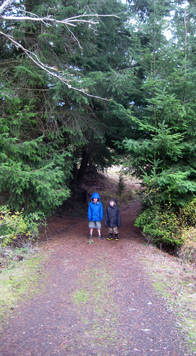
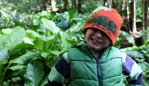
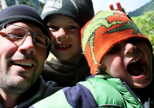
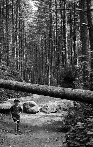
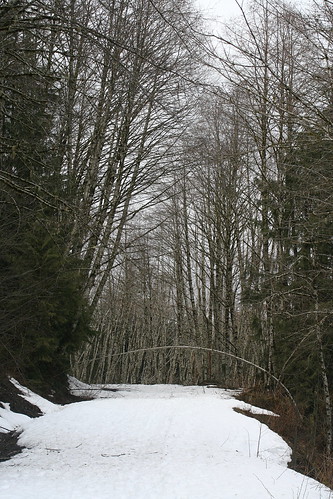
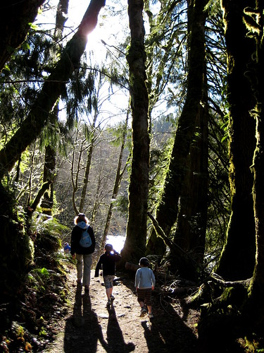
Rattlesnake Mountain

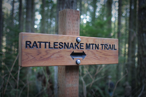
Family walk in the (February!) sunshine to Rattlesnake Ledge/Edge
(although it appears to have been upgraded to a mountain!)
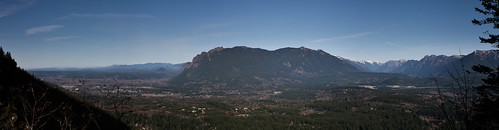
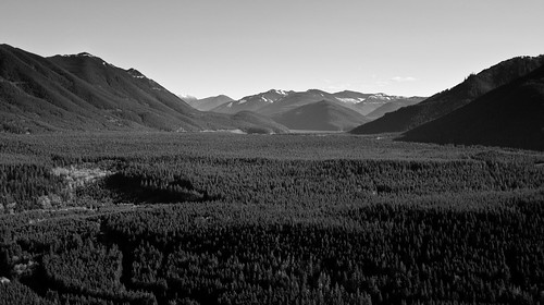
Great views: Mount Si, the Snoqualmie Valley and the Cedar River Watershed which supplies much of Seattles drinking water.
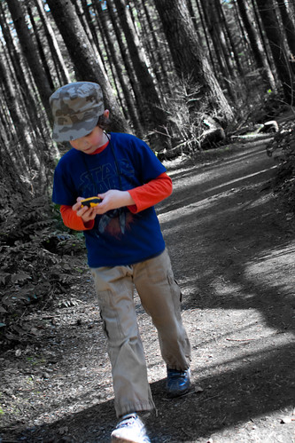
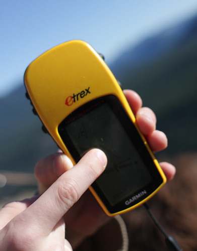
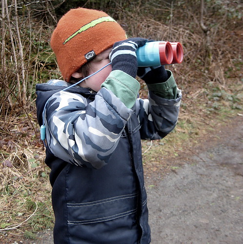
Finn was in charge of navigation, and kept up a commentary on exactly where we were for most of the 90 minute hike up.
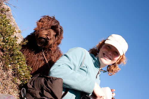
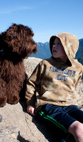
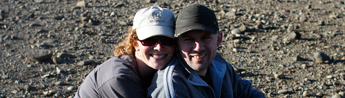
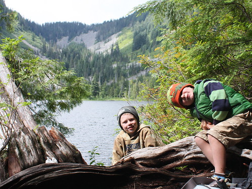
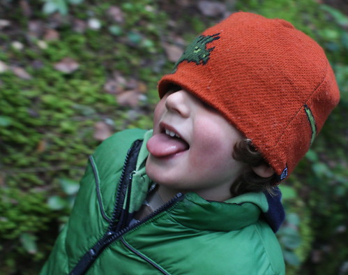
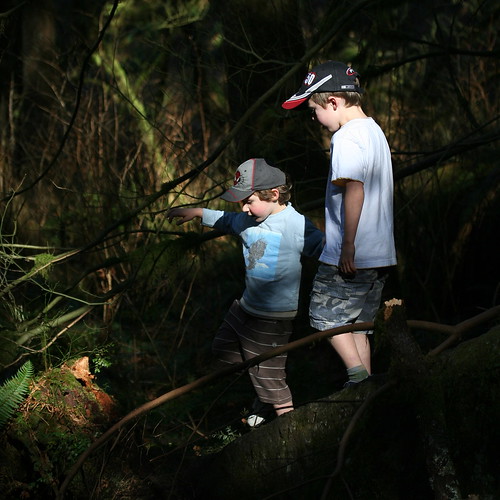
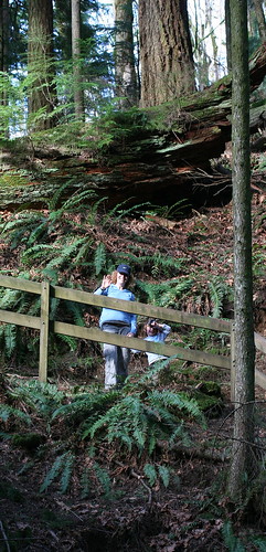
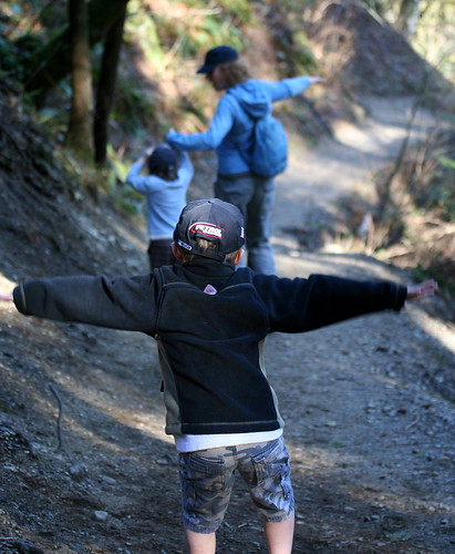
Turtleback Mountain
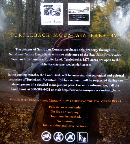
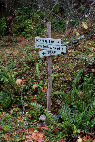
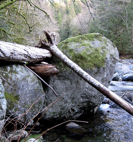
A great little hike up to Ship Point on Turtleback Mountain. Steep going up but the views were fantastic.
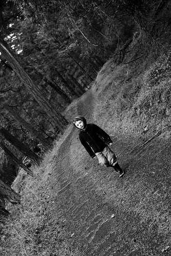
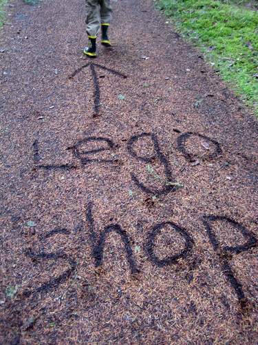
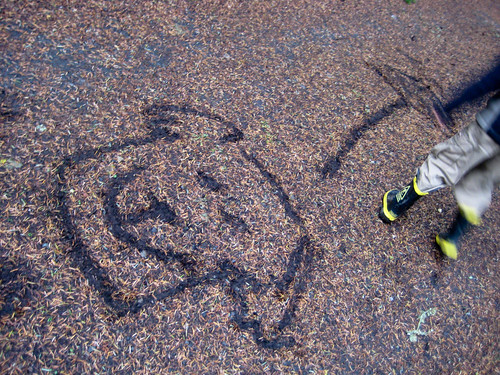
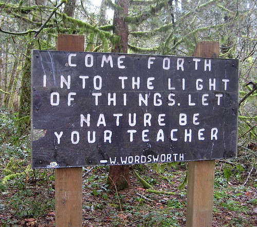
F found the going a little hard at first, but magic signs on the trail soon had him whizzing upward.
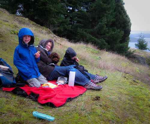
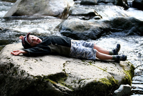
Our lunch spot was out of the wind but got damper as the rain set in…
…we didn’t get too wet though!
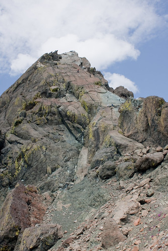
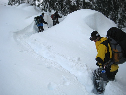
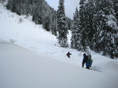
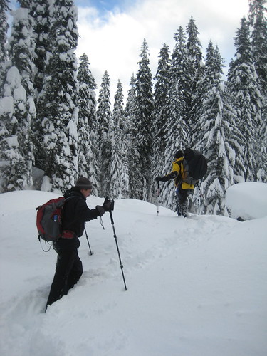
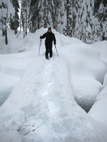
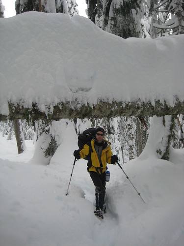
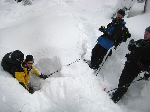
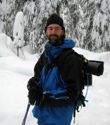
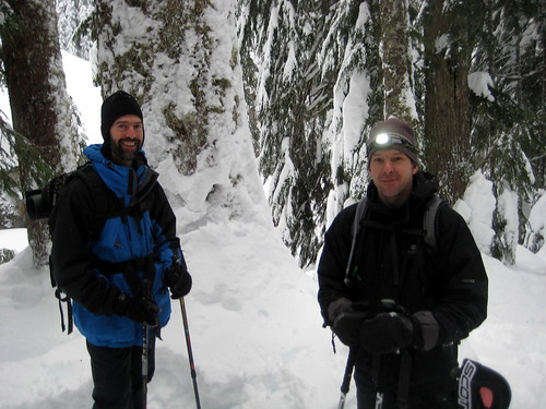
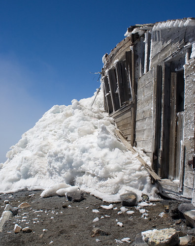
Garland Peak
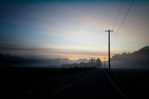
Up early on a dark and misty morning to cross the mountains to the east side.
It was a tad chilly – 19 degrees in old money (or -7 Celsius if you prefer).
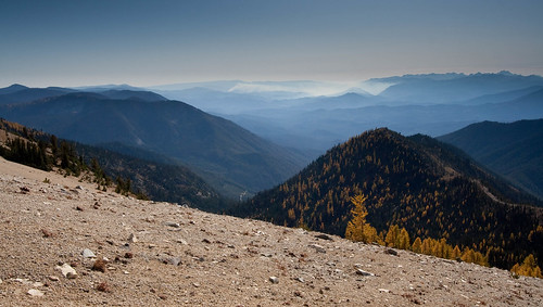
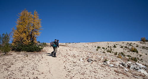
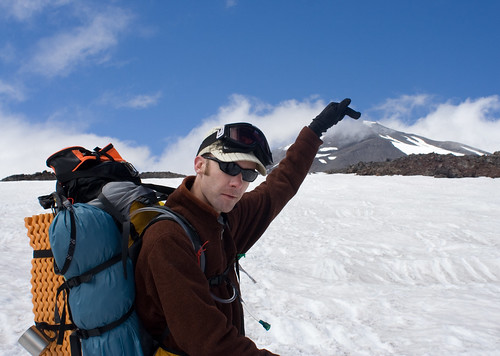
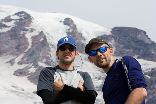
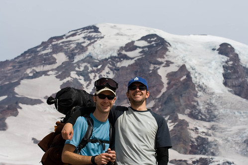
The hike up was tough (to quote one guide “The first half of this trip is a brutally steep, brushy at times, curse-inducing slog”) although Chris and Jeff appeared to dance up.
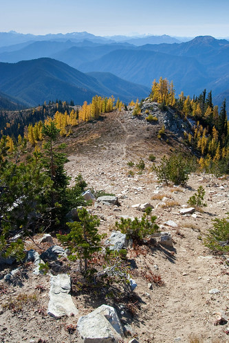
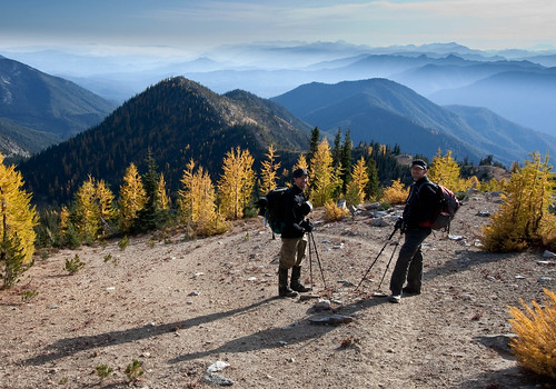
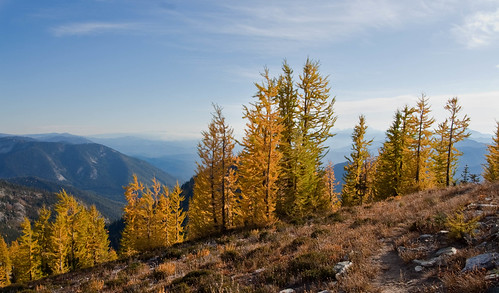
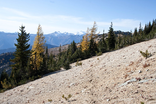
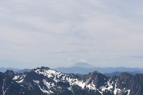
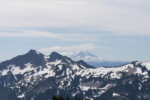
But the views of peaks, including Glacier, Rainier and a hint of Baker, the autumn colours, and the pumice field that exploded out of Glacier 10,000 years ago left me speechless (or maybe that was just the lack of all round fitness)
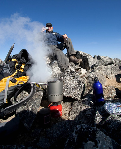
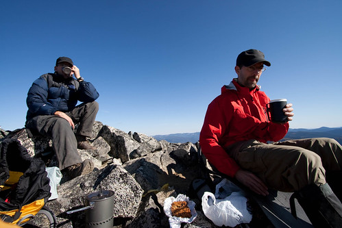
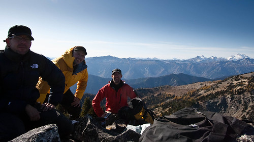
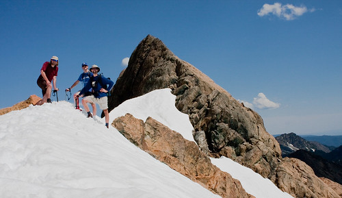
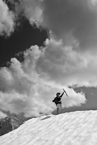
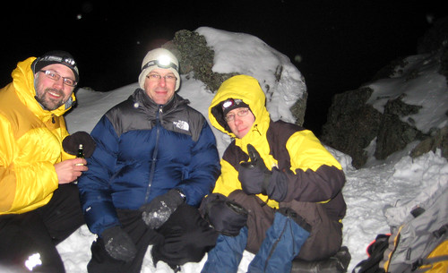
A couple of warming brews at the top (7525 feet) before the obligatory summit photo…
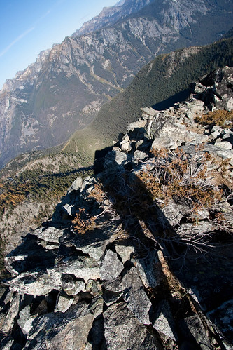
…and the longest shadow of me I think I’ve ever seen.
Thanks guys. Awesome trip.
[ More on flickr ]
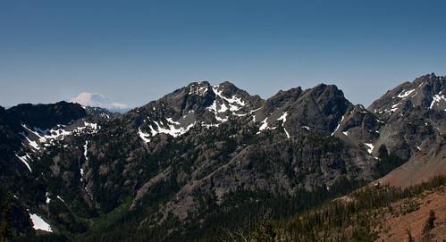
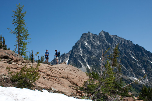
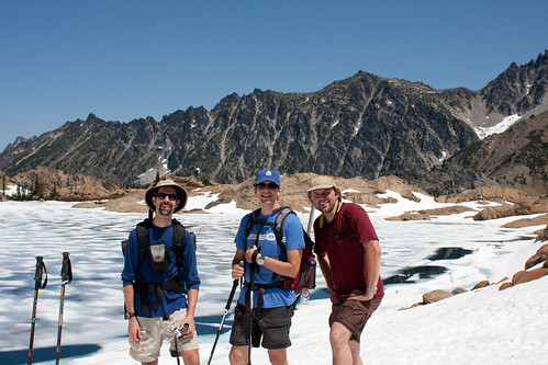
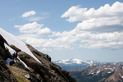
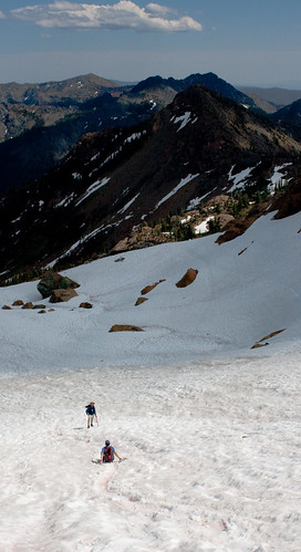
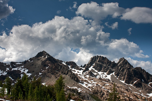
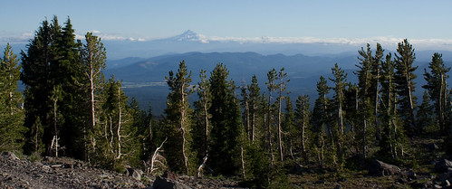
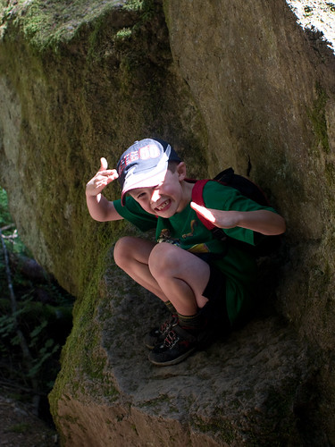
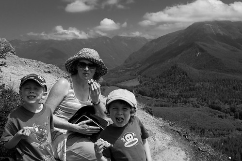
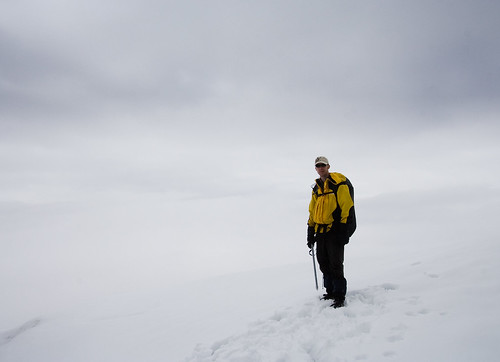
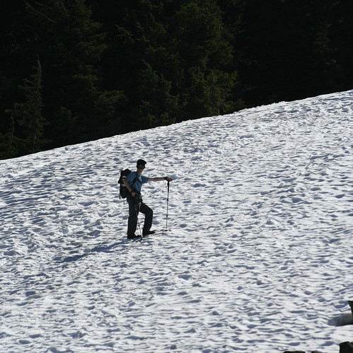
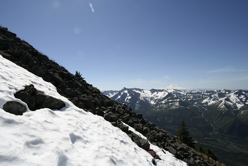
A Stroll Up Ingalls
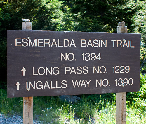
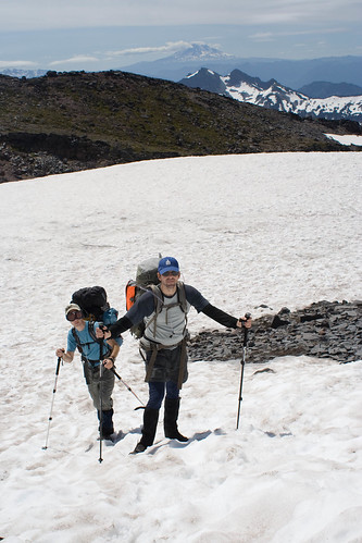
A beautiful day for a walk in the mountains, a stroll with Chris & Jeff
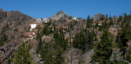
our intended destination, seen here in the centre, was South Ingalls Peak
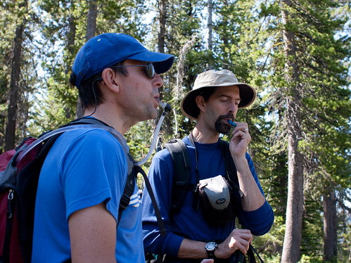
Hot day, so lots of hydration on the hike in…
…or maybe just a chance to admire the views
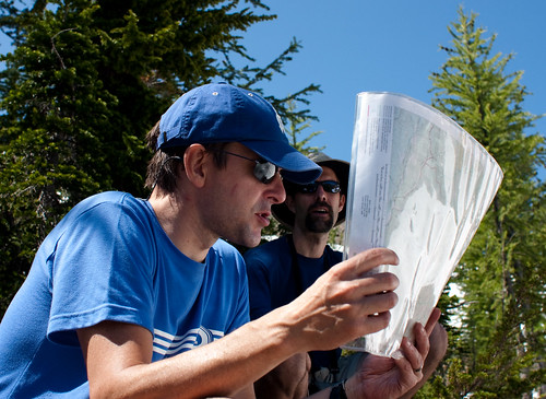
A spot of lunch in headlight basin and some time to study maps and things.
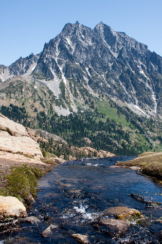
Headlight Creek and Mount Stewart forming the perfect backdrops
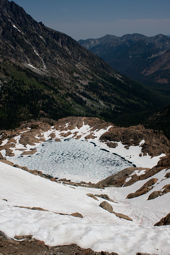
Lake Ingalls at 6,463ft was still covered in ice (just), and the views got better and better as we went higher.
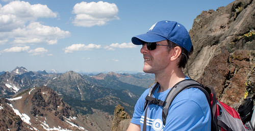
Chris spotted something strange…
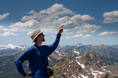
Was it Jeff poking at clouds?
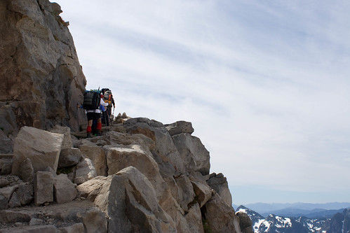
Or maybe pointing at real climbers (look closely!) on the dogtooth spires leading to the north peak.
After some much needed scrambling lessons from Jeff, we reached our high point of about 7,400 feet (below the south summit) defeated by time and my dodgy sprained ankle.
But we had enough time on the way down for some fake ‘victory’ piccy’s
before taking the super speedy way down
(how my ankle wished for snow all the way back to the trail head :-))
as the clouds rolled in.
Fantastic day. Thanks guys!
Chilnualna Creek Hike
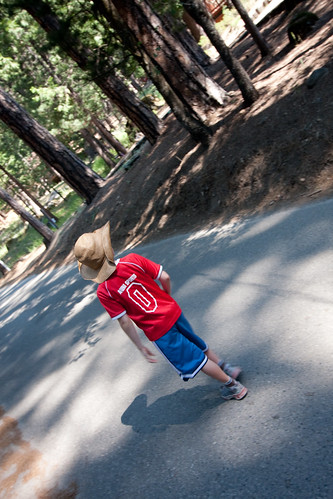
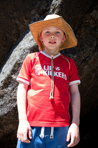
A short, but very very hot, hike to the lower Chilnualna Creek waterfall from the cabin.
H lead the way along the road…
…and through the colourful meadows.
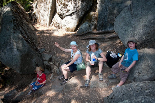
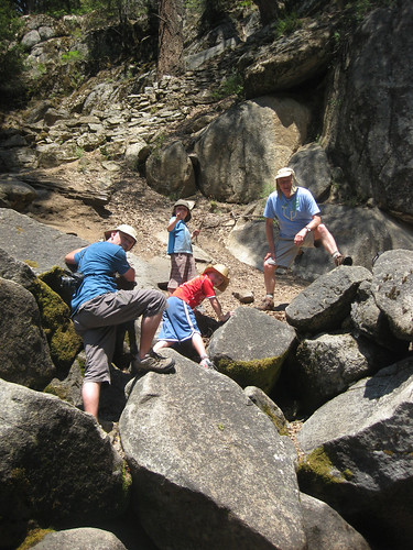
After a mile or so, with a couple of diversions to explore new rock routes,
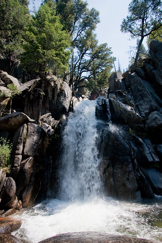
we arrived at a cool spot at the base of the lower fall. An ideal spot for a rest and a snack…
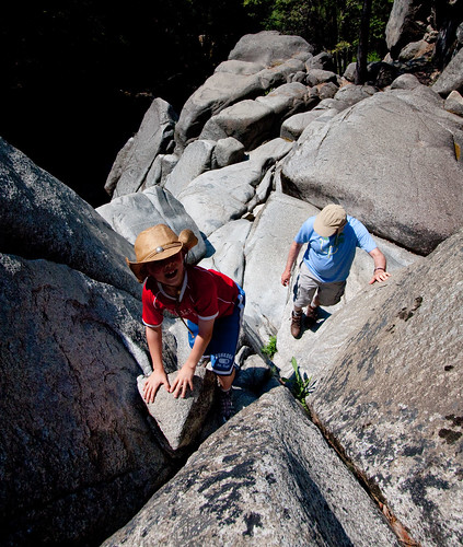
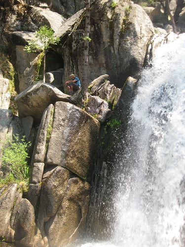
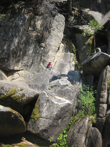
…and some more climbing :-)
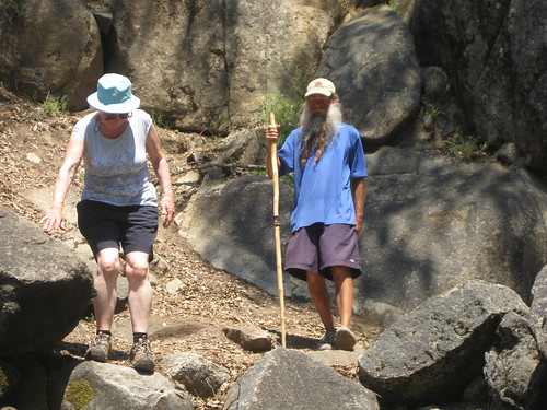
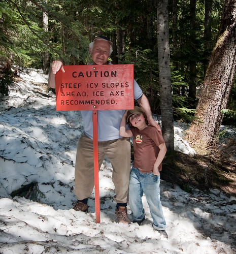
Energetic nana & granddad went onward and upward to the bigger falls – granddad got lost and was found several days later with a little more stubble than is considered smart!
Top climbing H!
Panorama Hike
With a big breakie at Paradise Inn behind us and the boys safely off with grandparents it was onwards & upwards for us.
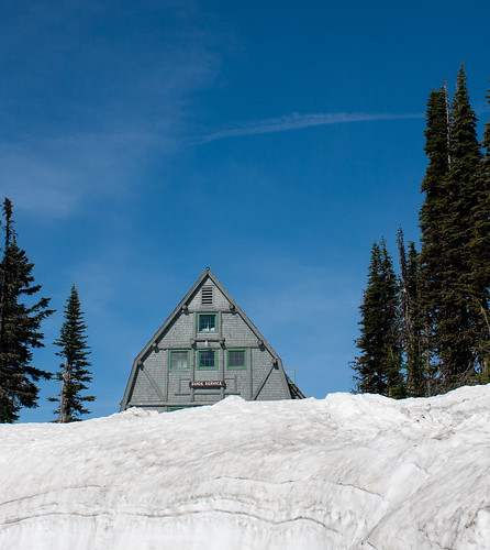
We left the guide service hut and dirty snow at Paradise behind…
…and climbed up along the western side of Alta Vista through Paradise Park
The trail led up through the snow – a different route from Camp Muir last July – and was helpfully signed to avoid embarrassing falls down step slopes.
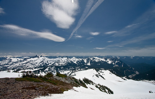
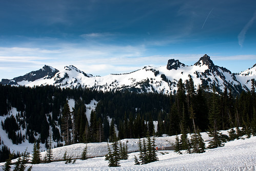
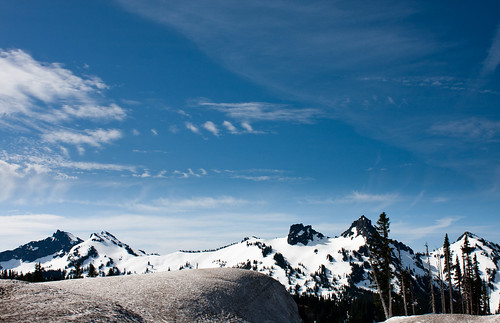
The view from Panorama Point was amazing, with Alta Vista, Mazama Ridge and then Mounts Adams, St Helens and (just visible) Hood on the horizon.
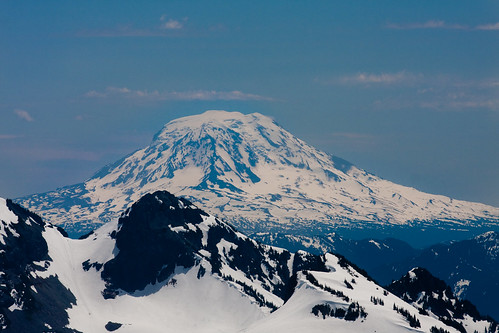
Mount Adams (from last years’ escapade )
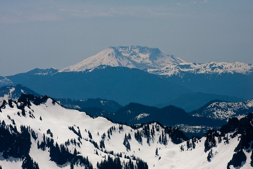
Mount St Helens (not as much as there once was)
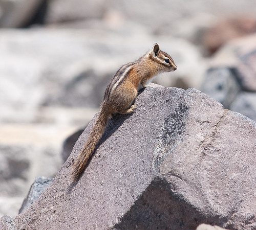
We even had some company for lunch
The way down was fun: steep and slippery. Fay tried plunge stepping before giving in to the charms of glissading (at which she was too fast for me to get a pic).
Wide brimmed hat = no/little sun burn
Kuhl cap & no hair = red ring of embarrassment next day in the office
Some more pics on the way down and then a well deserved drink back at the Paradise Inn.
Note: This post was updated on 2020-11-15 to fix broken links
Christine Falls Hike
A gentle hike through the woods along the trail blazed by the Mighty Finnster…
…to a bridge…
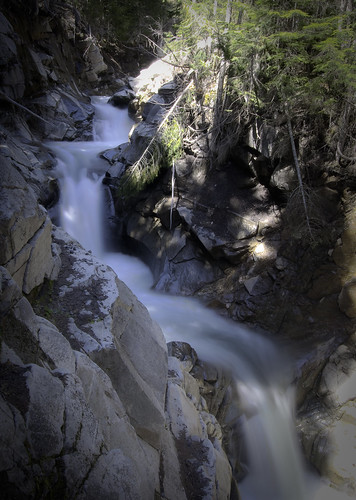
…over the gushing Van Trump Creek.
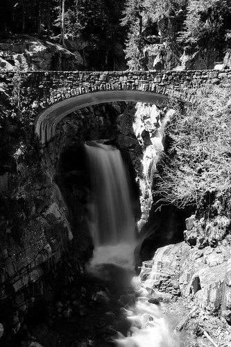
Just below, the creek drops over Christine Falls and then beneath the road that winds up the mountain from Longmire to Paradise.
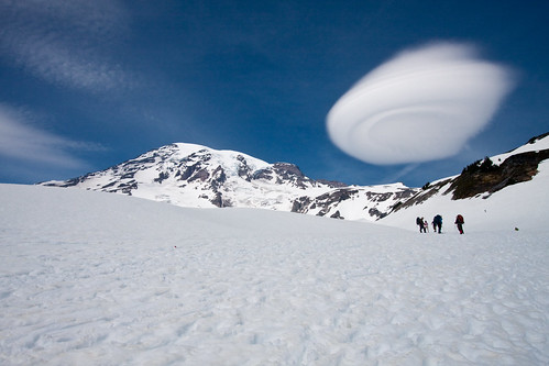
Unidentified Flying Object
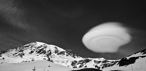
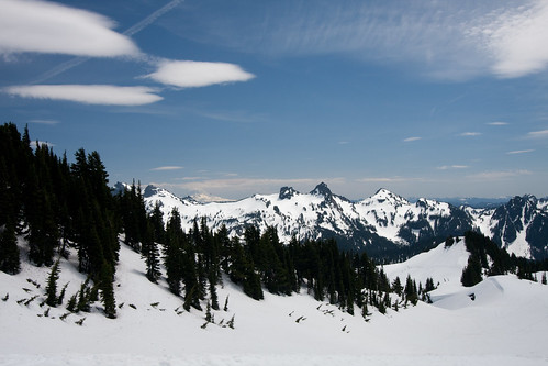
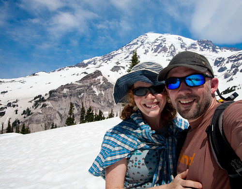
With Grandparents in town Fay & I had a Sunday to hike up to Panorama Point on the southern flank of Mt Rainier. Snow all the way up to 6,300 ft with some amazing views, including this one of a large
lenticular
cloud floating east of the summit.
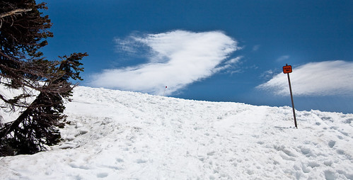
Getting down was fun & fast
J
Wally’s at Wallace
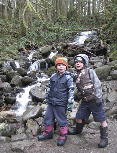
The boys took another crack at the Wallace Falls Hike
Note: This post was updated on 2020-11-21 to fix broken links
Night Hike
We repeated last year’s excursion to the top of Mount Si [4,167 ft (1,270 m)], only this time with less light and less snow. I say less light cause it was night and therefore dark, except for the fantastic views of the Snoqualmie Valley and Bellevue in the distance.
A New Year Hike
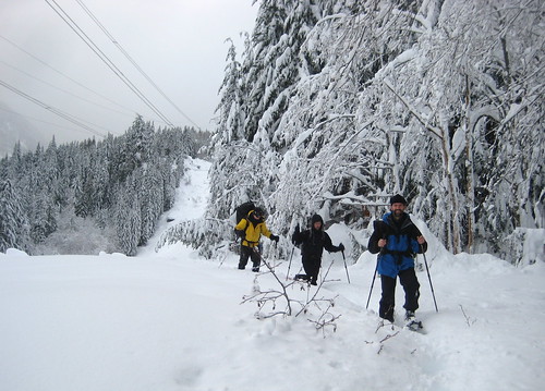
To celebrate the new year, Chris, Martin, Jeff and I did a little snowshoe hike up the Surprise Creek valley, along trail 1060, to not quite Surprise Lake, just inside the Alpine Lakes Wilderness .
Deep snow, and no one else on the trail, meant we were more snow-wading than snow-shoeing. A party of four that overtook us when we stopped for lunch gave up soon afterwards. A shame, since it was nice to follow someone else’s tracks for a while.
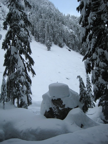
Obstacles slowed progress considerably, but added to the fun, although not shown is the 5 minutes I spent digging my left foot out from a hole.
(Of course, I blame the heavy pack & weak snowpack structure and claim that excess Christmas eating had nothing to do with it.)
Jeff excelled by finding a fallen tree route across the creek. Nice one!
Crazy Jeff and crazy Chris blasted through their turnaround times and headed back down the trail for some headlamp fun with darkness approaching.
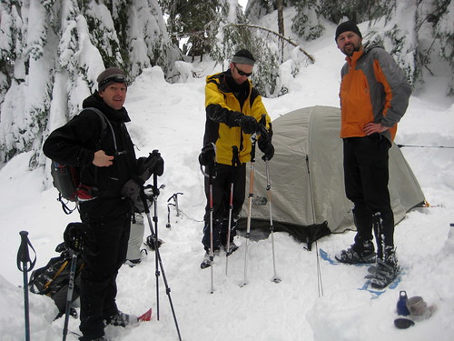
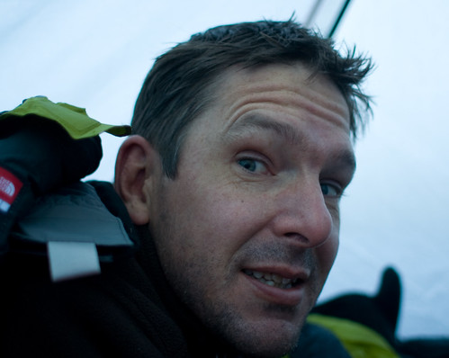
With the forecast for snow and temperature down to –11 Celsius, crazy Martin and crazy Aiddy dug in and camped overnight in a beautiful spot above the creek.
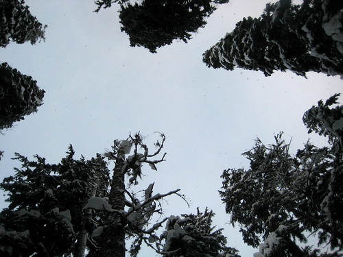
With a view from the tent upwards through snow capped trees to the sky (and amazing stars after dark)…
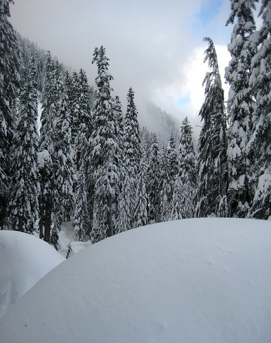
and across the creek to the snow fields on the opposite side of the valley.
A totally amazing and awe inspiring trip.
Thanks guys!
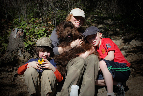
Talapus Lake
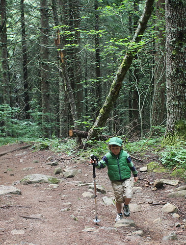
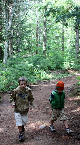
With Mum in Nicaragua, what better way to spend the first day of Autumn than a little hike to Talapus Lake ?
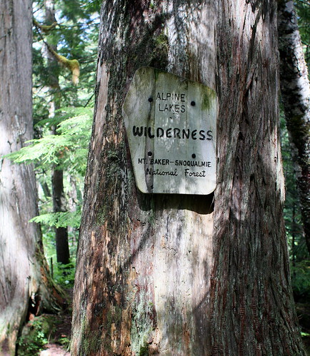
The lake is in the Alpine Lakes Wilderness ...
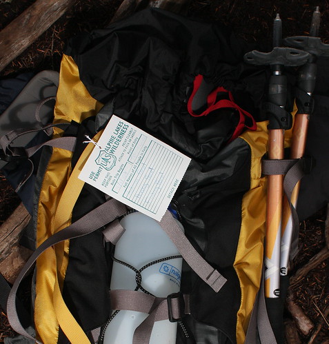
...so you need one of these.
Aside: We also needed to renew our
NorthWest Forest Pass
— turns out Talapus was the first hike that the ranger in North Bend did when he was a kid...
On the way up there are some good rest spots alongside Talapus creek.
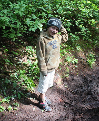
There's also muddy spots to avoid.
H is looking pleased with himself because he did a Matrix-style triple stumble around this particular patch, avoiding getting his knees, face and bum covered in the sticky stuff.
Not forgetting the skunk cabbage to pose by.
We found a quiet spot at the edge of the lake for our lunch: but dad forgot the swimmers so we stayed dry (just as well really)
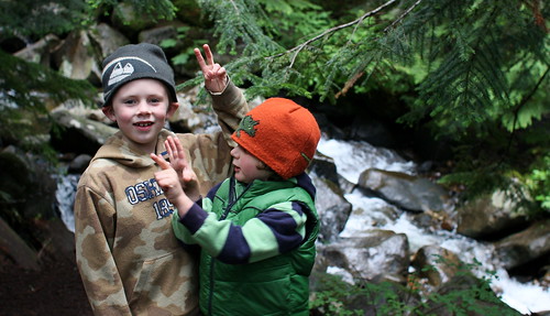
On the way down F decided to do route finding by "taste" rather than by "sight"

wile H did impressions of Dad's ears.
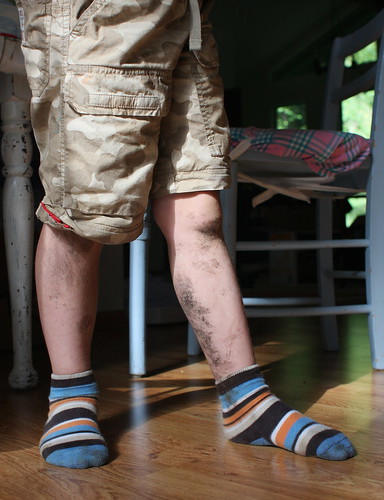
Sign of a good walk? Muddy legs :-)
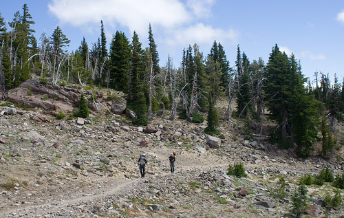
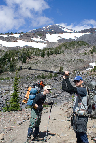
Adams
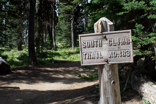
183 is the South Spur route (aka the dog route) from cold creek camp ground up Mount Adams.


For the interested, the picture that started it , and more on flickr .
Enormous thanks to Chris and Martin for getting us all up and down safe and sound.
Note: This post was updated on 2020-11-22 to fix broken links
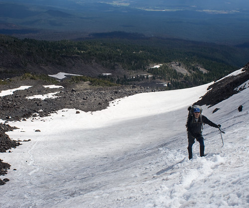
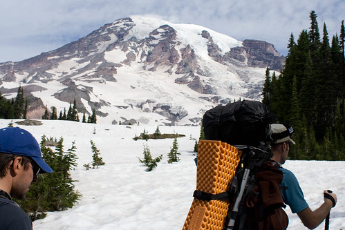
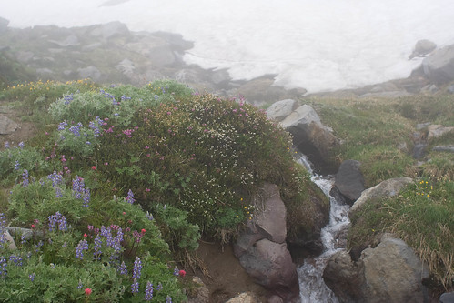
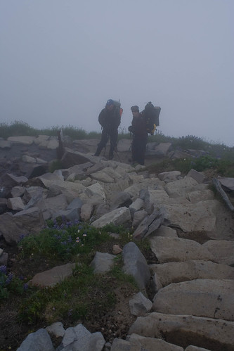
Camp Muir
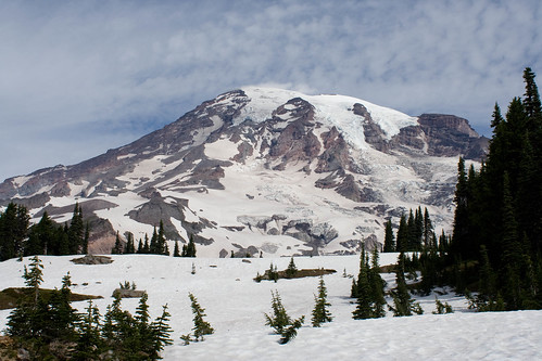
Mount Adams was closed (a case of forest fire) so we decided to try a little day hike from Paradise (5,400ft) to Camp Muir (10,188ft)
Paradise meadows was still partly under snow
but spring flowers were making a show wherever they could.
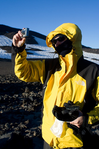
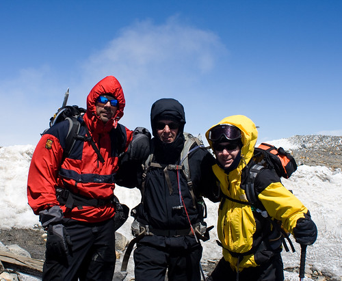
Panorama point made a good spot for piccy's of the crew...
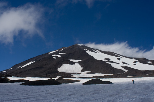
...and of Mount St Helens (or what's left of it) and Mount Adams to the distant south.
Next was the climb up to the Muir Snowfield...
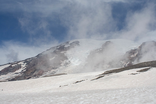
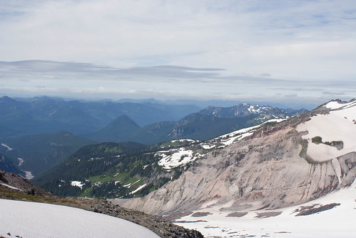
...with views up to the summit of Rainier and across to the scared valley left by the retreating Nisqually Glacier.
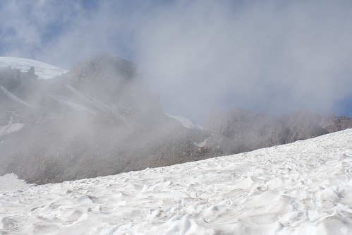
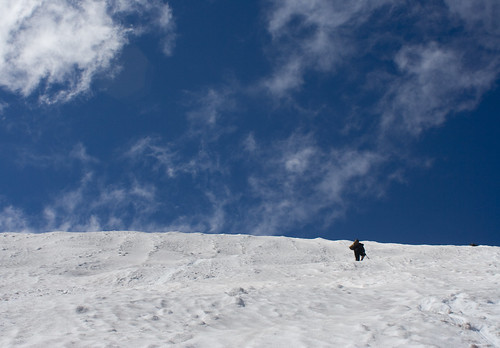
After a long slog up the snowfield: Camp Muir appeared through the misty cloud!

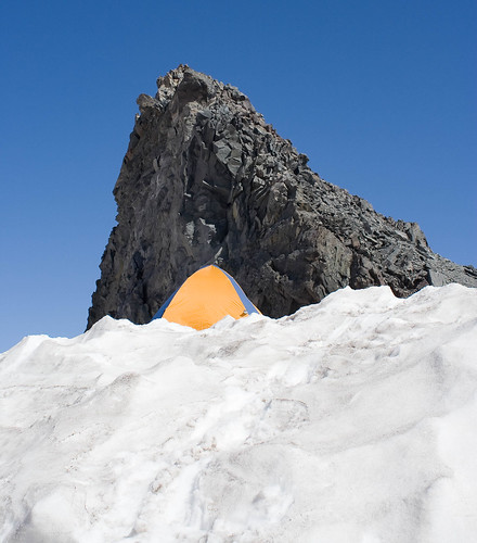
Where we pitched the tent and cooked up some lunch
(a different tent from the picture 'cause I forgot to snap Chris')
Going down, the clear weather changed to foggy as the predicted 12,000ft cloud base came in at about 5,000ft.
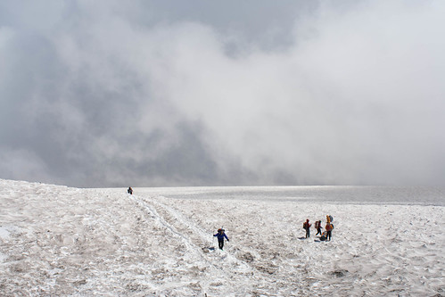
Going down was quicker thanks to a spot of glacading.
Martin,
aka
chief shoot spotter, and Chris,
aka
Mr. Speedy, led the way with Aiddy,
aka
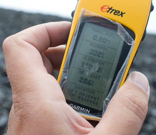
I feel a bit tom-and-dick and need to check the GPS every 10mins so we don't slide off a cliff or into a crevasse, followed some distance behind.
Back to Paradise just before 7pm in the gathering gloom.
I conveniently didn't get a piccy of Chris beating me in a run back to the car (Martin correctly observing "it's all a bit matcho").
Good day out. Can't wait till the boys can give it a go :-)
Big thanks to Fay & the Boys for the day pass.
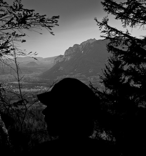
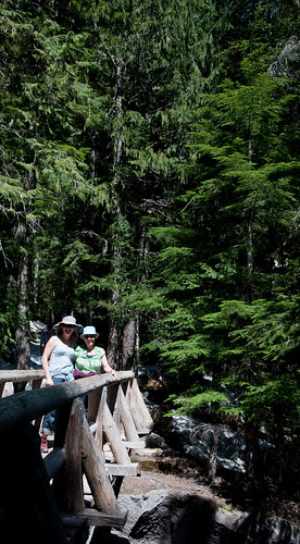
Rattlesnake Ledge
We planned a quiet hike up to Rattlesnake Ledge , but didn't bargain on the thousands of people for 'Trail Fest' .
(although it was busy at the top).
Maybe Rattlesnake Ledge was too tame for the people attending trail fest...
Note: This post was updated on 2020-11-22 to fix broken links
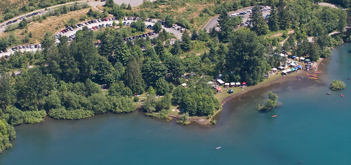
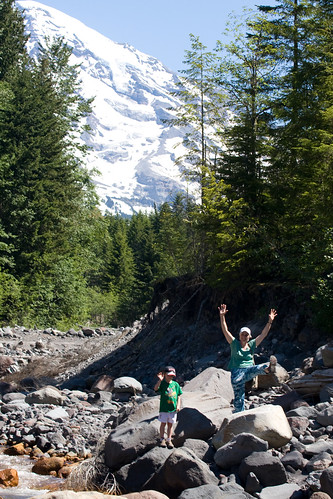
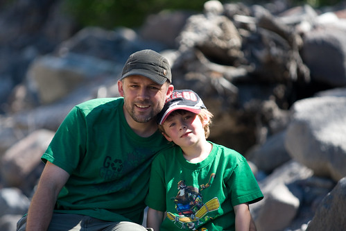
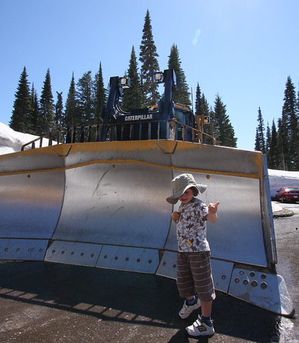
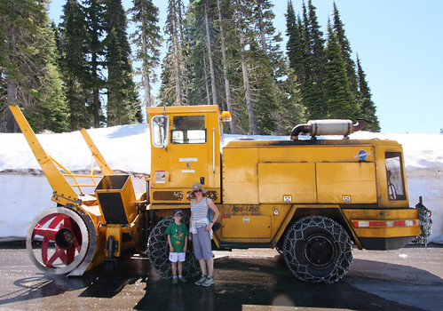
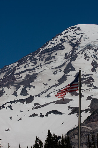
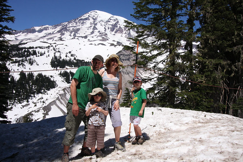
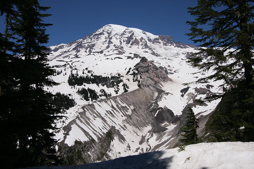
Day trip to Rainier
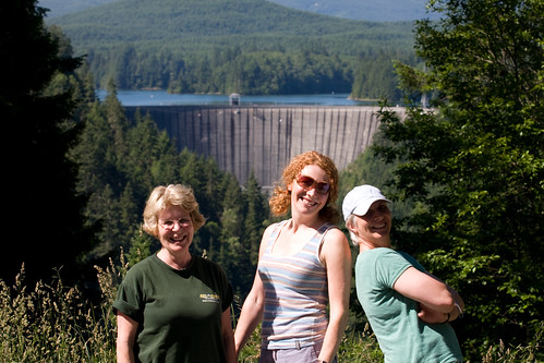
Thanks to Dawn for transport, we had a great day trip to Mount Rainier, stopping off for donuts and a view of the Alder Dam on the way.
Weeeeeeeeeeeeee!

Note: This post was updated on 2020-11-22 to fix broken links
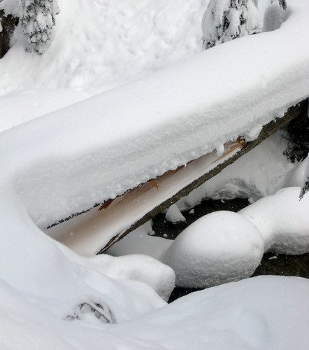
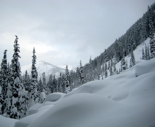
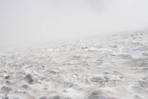
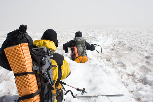
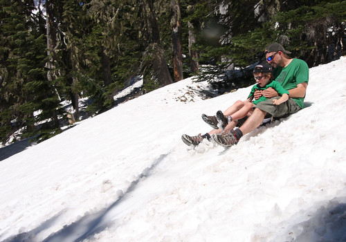
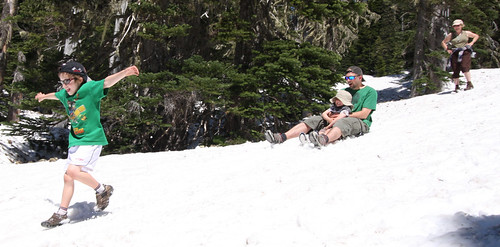
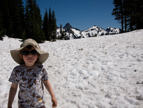
Summer Hike
The family thought I was crazy (well, more crazy then usual) when I geared up for a little hike on Mount Pilchuck (yes, that Mount Pilchuck )
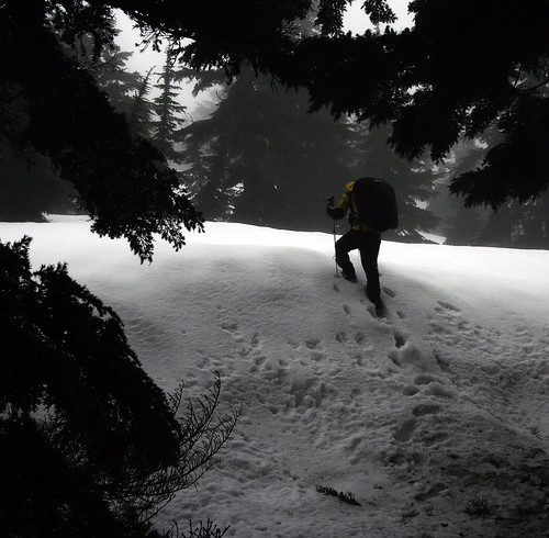
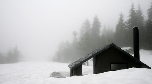
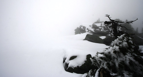
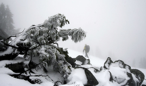
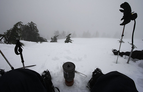
but when everything is a shade of white you never can tell.
Are you standing on fluffy snow or fluffy cloud?
Just don't look down
Note: This post was updated on 2020-11-22 to fix broken links
Mail box
An early start on Saturday for a hike up Mail Box Peak
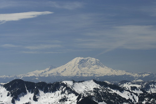
Pretty spectacular views of Mt. Rainier to the SE, but the haze meant downtown Seattle was only _just_ visible.
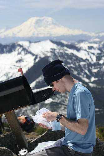
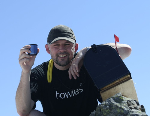
It's called Mail Box Peak because there's a mail box on the top! Martin had a good riffle through the contents, but there was no ice cold beer to be found.
Slog
A plan to summit Mount Pilchuck turned into a workout slog up forest service road 2124.
What would have been a nice 2 hr hike to the starting point at the trail head with snow shoes... wasn't.
Lessons learnt:
1. In winter, check trail head accessibility as well as planned route.
2. Long hikes to trail heads are easier with snow shoes and/or x-country ski's (when there's snow around that is).
3. Snow cover on the ground is very dependent on tree coverage.
4. When a nice alternative like Heather Lake presents itself, go for it.
Fourth time
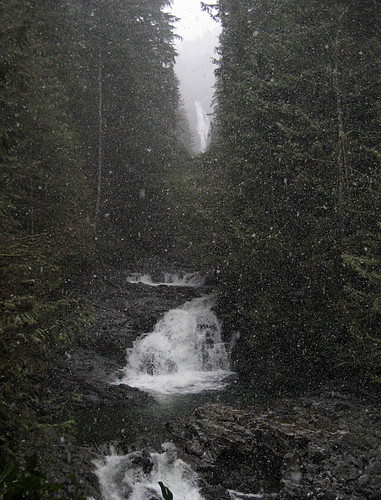
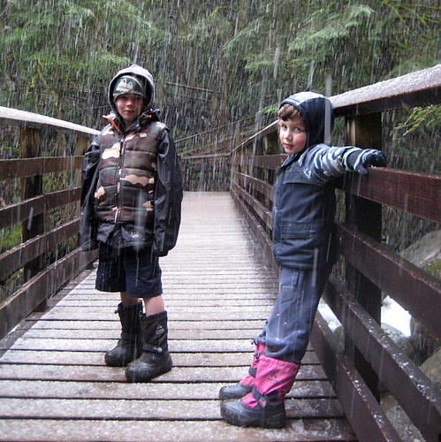
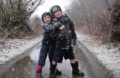
On the fourth attempt we did the twin falls hike!
Attempt 1:
rain stopped play so we hunted yeti instead
Attempt 2:
made it, only backwards
Attempt 3:
snow stopped play
Note: This post was updated on 2020-11-28 to fix broken links
Page 2 / 3